
Coyote Canyon offers a fascinating window into the geologic history of southern California, which in turn plays a major role in the subsequent ecological and human development of the area.
TECTONICS
To understand how Coyote Canyon came to be how it is today, we must understand the tectonic activity that molded it in the past and continues to shape it in the present.

Tectonic map of the world
Southern California sits along the boundary of the Pacific plate and the North American plate. As indicated in the map above, in the vicinity of southern California, the Pacific plate is moving to the northwest relative to the North American plate. A system of faults has developed along the west coast of North America as these plates slide past one another. While the movement has been primarily lateral, there are localized areas (e.g., the Gulf of California that separates Baja California from the mainland of Mexico) where the primary relative motion has the plates moving away from one another.

click to enlarge
It is this sort of pulling apart at the plate boundary that caused the Gulf of California to form between 7 to 4 million years ago. It is also responsible for the creation of the Salton Trough, a low-lying basin just east of Coyote Canyon, now partially filled by the Salton Sea. Were it not for the sediments that have built up on the southern end of the Salton Trough, this depression would be inundated by the Gulf of California as far north as Indio, as it is below sea level.
 Indeed, based on aerial views of the Baja peninsula and southern California, it is clear that the depression below sea level just north of the Gulf of California (the Salton Trough) is merely a continuation of the Gulf of California. The tectonic forces that created the Gulf were (and still are!) at work increasing the distance between Baja and the mainland, as well as increasing the down-drop of the Salton Trough.
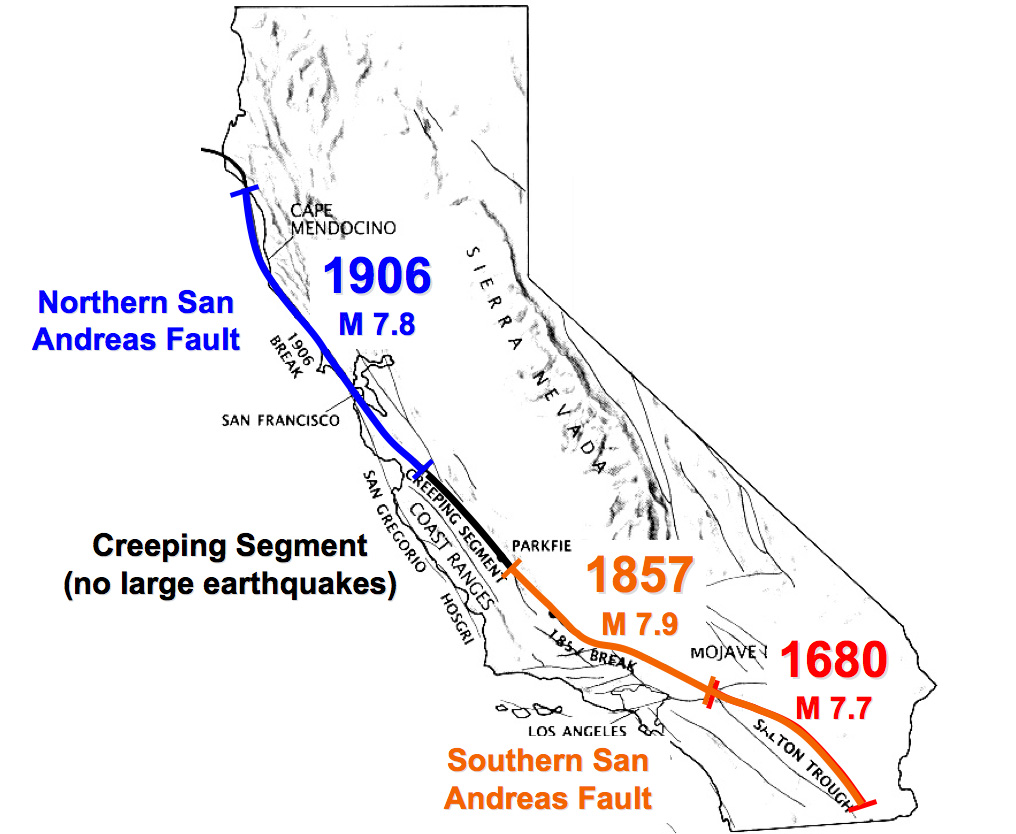
While the central and northern segments of the San Andreas Fault are seismically very active and have produced major earthquakes in the last two centuries, the southernmost portion of this great fault has been relatively quiet, causing some geologists to theorize that this segment of the fault has become “locked” south of the Transverse Range, such that it is no longer the primary locus of movement between the Pacific and North American plates. Instead, some hypothesize that the movement has shifted several miles to the west along the San Jacinto and Elsinore Fault Zones.
The map below gives an overview of the system of faults and rock types throughout south central California. The location of the San Andreas Fault (SAF) is indicated; however, as noted, it appears that this fault is no longer the primary location of tectonic movement in this region. Instead of a single localized fault, the San Jacinto and Elsinore Fault Zones are comprised of a whole series of northwest-trending faults to the west of the San Andreas. The individual faults that comprise this fault zone are very active, making this among the most seismically active regions in the world. The yellow box indicates the location of Coyote Canyon, the region of study in this course.
![San Jacinto and Elsinore Fault Zones. BB, Borrego Badlands; CF, Clark fault; CCF, Coyote Creek fault; EF, Elsinore Fault; ERF, Elmore Ranch Fault; EVF, Earthquake Valley fault; FCB, Fish Creek basin; IF, Imperial fault; SFF, San Felipe fault; SFH, San Felipe Hills; SHF, Superstition Hills fault; SMF, Superstition Mt fault; TBM, Tierra Blanca Mts; WP, Whale Peak. Map compilation courtesy of L. Seeber. Source of image: [Dorsey, 2005]](https://coyotecanyon2014.files.wordpress.com/2012/11/geologic-map-northern-anza-borrego-from-dorsey-paper1.jpg)
San Jacinto and Elsinore Fault Zones. BB, Borrego Badlands; CF, Clark fault; CCF, Coyote Creek fault; EF, Elsinore Fault; ERF, Elmore Ranch Fault; EVF, Earthquake Valley fault; FCB, Fish Creek basin; IF, Imperial fault; SFF, San Felipe fault; SFH, San Felipe Hills; SHF, Superstition Hills fault; SMF, Superstition Mt fault; TBM, Tierra Blanca Mts; WP, Whale Peak. Map compilation courtesy of L. Seeber. Source of image: [Dorsey, 2005]


The two images above show a terrain map (with the seismically-significant features indicated) and the corresponding aerial photograph of Coyote Canyon and the surrounding region. The Coyote Creek and Clark Faults (both members of the San Jacinto Fault Zone) run along the northeastern edge of their respective valleys and have created a steep escarpment to the east, as seen in the image below, which shows Coyote Mountain in the foreground (the mountain immediately to the east of Coyote Creek Fault) and the main flank of the Santa Rosas (immediately east of the Clark Fault) in the background.

In addition to mountain genesis, these faults are also responsible for bringing fresh water to the surface in several locations, turning portions of Coyote Canyon and its adjacent side canyons into desert oases.
PREDOMINANT ROCK TYPES
The mountains in the vicinity of Coyote Canyon include all three rock types: igneous, sedimentary, and metamorphic.

Granite – click to enlarge
Igneous rock in the form of granite and granite-type rocks are the primary building block of the San Ysidro range (to the west of Coyote Canyon) and the northern portion of the Santa Rosa mountains (north and northeast of Coyote Canyon). These rocks were formed deep underground approximately 120 million years ago as molten material slowly cooled, allowing the component minerals within the rock to grow relatively large crystals — large enough to be visible to the unaided eye. The immense rocks were uplifted and exposed as the system of faults forced them up and millions of years of erosion caused the sedimentary rocks that lay above them as they initially formed to disappear.

Recent sedimentary rock with visible clasts – click to enlarge
Sedimentary rock of various ages, formed as layers of sediment were deposited on top of one another, is also present in the region in two forms. One of these forms is limestone, laid down prior to the uplift of the mountains when this part of California west of the San Andreas Fault was further south and was underwater along the shallow edge of the Pacific Ocean. The second, more recent form, is the result of erosion, as various sized fragments (“clasts”) from the now uplifted mountains accumulate and cement at lower elevations.

Metamorphized limestone (marble) is visible as white bands in the southern Santa Rosas – click to enlarge
Metamorphic rock, created as either igneous or sedimentary rocks are subjected to high temperature and/or pressure deep underneath the earth, form the primary rock type in the southern Santa Rosa mountains, east and southeast of Coyote Canyon. The high pressure necessary to squeeze rock and change its structure are the result of the extraordinary forces generated along these faults, as the Pacific and North American plates slide (or better, “grind”) past one another.
EROSION
In addition to providing the raw material for clastic sedimentary rock, erosion provides the uncemented alluvia that form the bottom (valley floor) of Coyote Canyon. As seen in the picture above, this alluvia deposits in a fan shape sloping gradually upward from the valley floor to the source of the deposits. While the floors of Fig Tree and Collins Valley (the two northernmost valleys within Coyote Canyon) appear to be flat, in fact they are a series of alluvial fans that slope gradually toward their respective source of alluvia. This is most easily seen in terrain maps, as we see below in a map of the northern portion of Collins Valley.

Northern portion of Collins Valley, showing fan shape of deposits coming off the steep side canyons
Rain storms in Coyote Canyon, particularly those in the late summer associated with the monsoons, can bring brief period of torrential rain. These violent rain storms — sometimes dumping over 3 inches of rain in a single hour — can cause significant erosion in a short amount of time. The eroded pieces of rock that are broken loose, ranging in size from mud particles (invisible to the unaided eye) to shed-sized boulders, tumble down the mountain and come to rest as the terrain flattens out. The pattern of deposition is easily seen: the larger pieces come to rest first (hence, are to be found closest to the mountain), while the smaller pieces remain suspended in the rain water rushing down and eventually come to rest further away from the base of the mountain. As a result, the center of the valleys has a floor of sand-sized particles, with gravel-sized particles along the edges of the valley, then finally boulders along the very edge, where the slope increases dramatically.
RAIN SHADOW EFFECT

Rain shadow effect
The predominant direction of air flow in southern California is from the west. The air picks up moisture as it passes over the Pacific Ocean. Most of this moisture falls as rain on the western slope of the first mountain range it crosses. This is because the air cools as it rises. If the air temperature drops below the dew point (relative to the amount of moisture it is carrying) as it must rise to get over the mountain, rain results. As the now-drier air continues to move inland, it sinks in elevation (causing it to heat up), thus making it that much less likely that it will produce rain. Differences in total yearly rainfall can be quite dramatic between two locations just a few miles apart, if one of those locations is on the leeward and the other on the windward side of the mountain. For example, Collins Valley receives on average 7 inches of rain per year; whereas, Table Mountain, just 7 miles away, receives over 15 inches of rain per year. Thus, the geological forces that produced the mountains to the west of Coyote Canyon are in large measure responsible for the area being a desert.

